 Data Types
Universal Data
Management
Seamlessly ingest visual data from any hardware source. Whether using high-altitude drones, vehicles, or mobile devices, our platform unifies inputs to ensure consistent AI-driven analysis across your entire grid network.
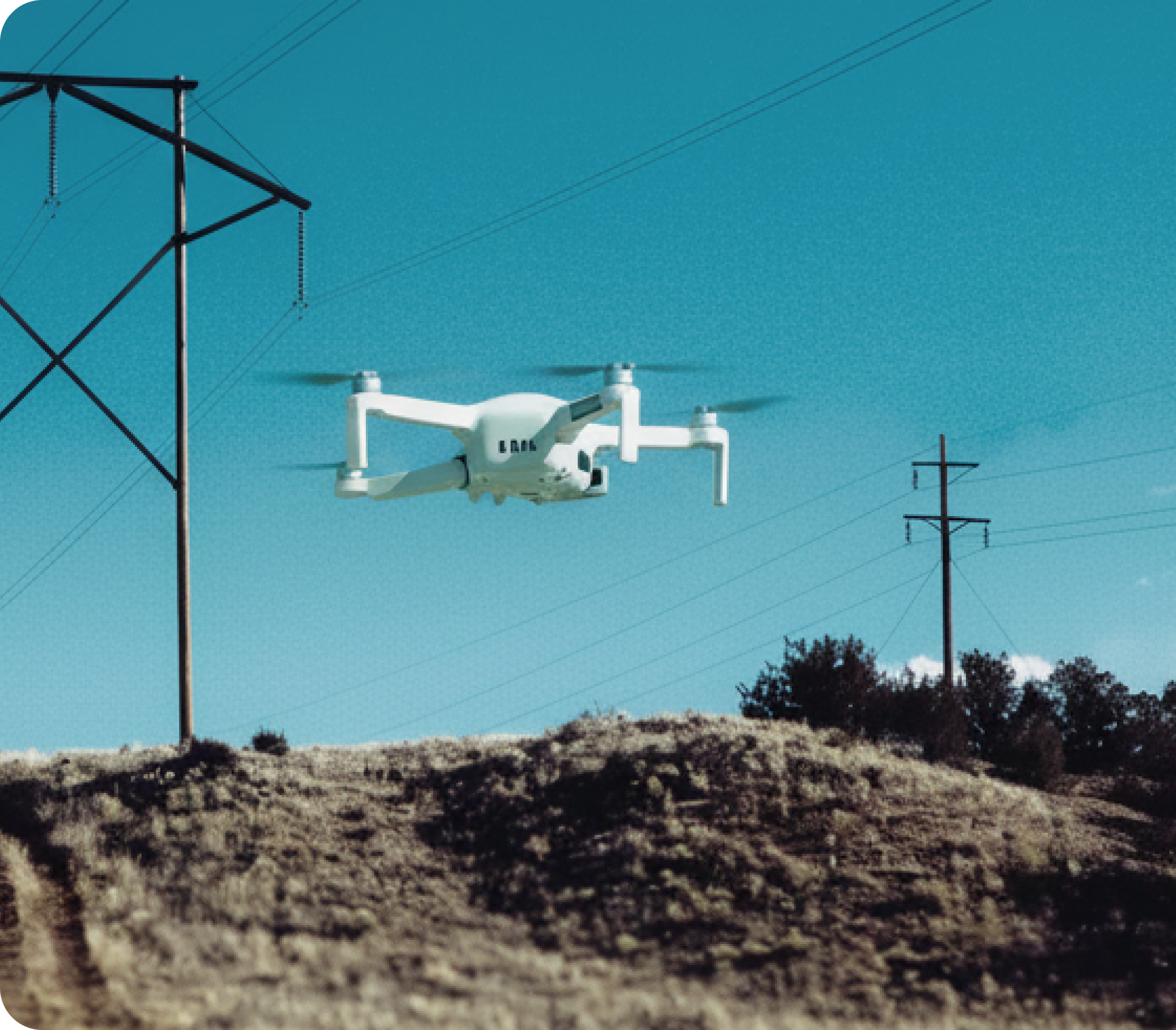

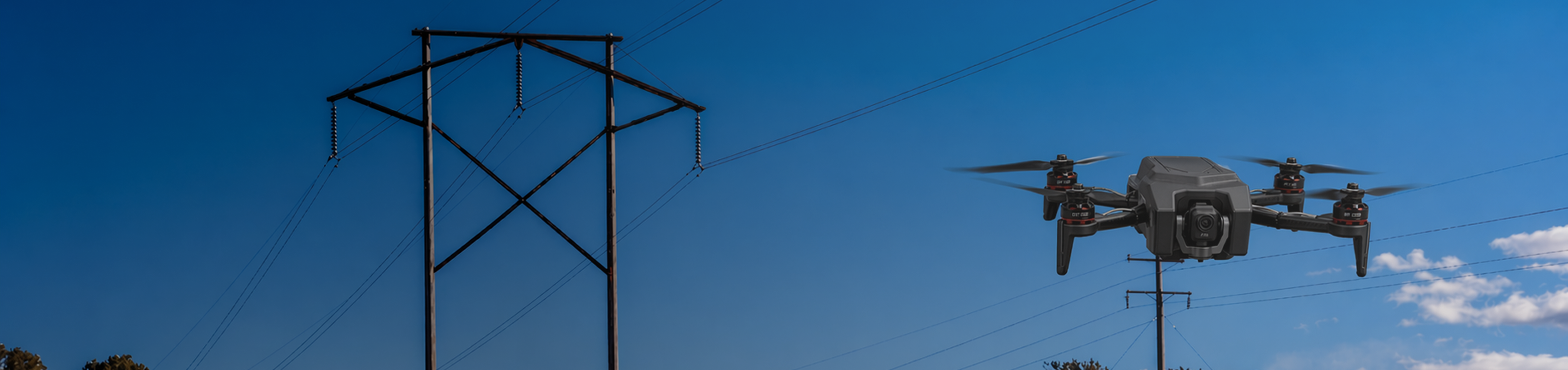
Drones
Aerial surveys for regions with inaccessible and difficult terrains to capture detailed top-down imagery of assets while reducing safety risks.


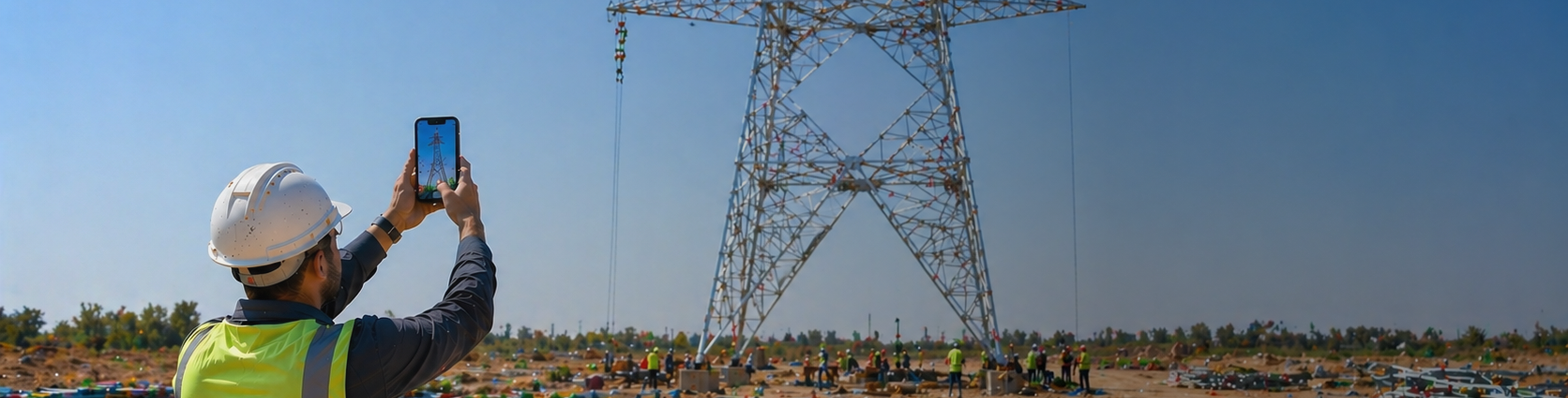
Smartphones
Empower field crews to capture specific defects instantly using standard smartphones or tablets. Perfect for ground-level validation and immediate upload to the platform.
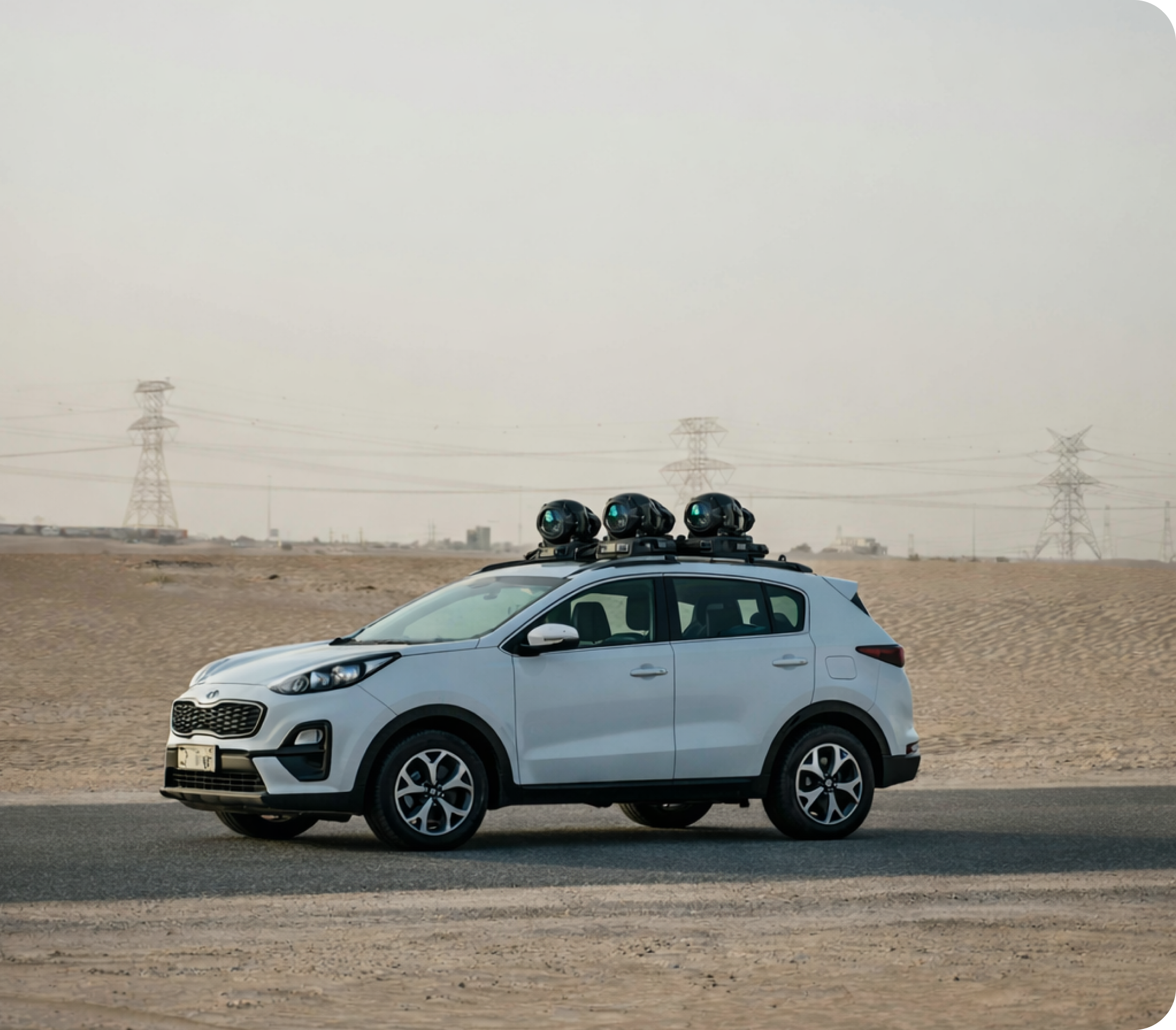

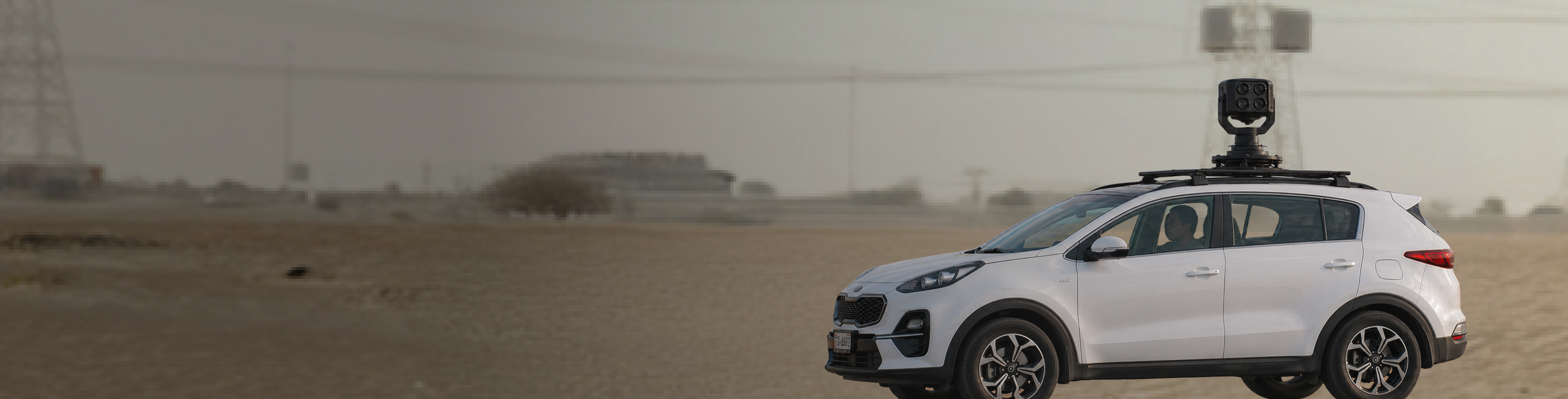
Specialized Vehicles
Vehicle-mounted cameras for large-scale continuous data collection to scan miles of infrastructure efficiently, making them ideal for monitoring road-accessible assets.
Supported Data Types

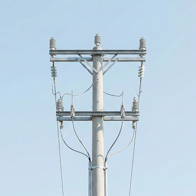

High-Definition Visuals
HD imagery for faster defect validation.
High-Definition Visuals
HD imagery for faster defect validation.


Thermal Infrared
Thermal insights that reveal hidden risks.
Thermal Infrared
Thermal insights that reveal hidden risks.
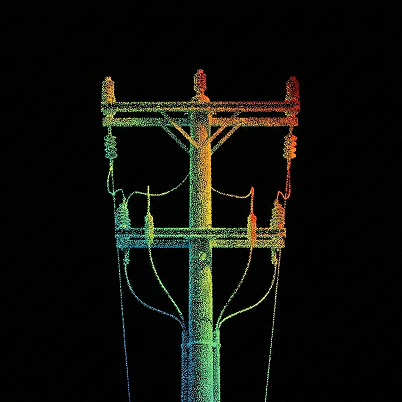

3D LiDAR Mapping
Measure clearances and geometry with 3D precision.
3D LiDAR Mapping
Measure clearances and geometry with 3D precision.
.png)

Acoustic Diagnostics
Detect abnormal acoustic signatures to prioritize risk.
Acoustic Diagnostics
Detect abnormal acoustic signatures to prioritize risk.